

The maps! Back in 2020 when the CPU process started, we got one draft plan that was easy to wrap our brains around. And in fact, one community group did just that and came together to create a community response to the draft.
Fast forward three years and the city has turned the process of updating our community plan into such a convoluted process that it’s taken multiple maps and numerous accompanying keys to describe their plans to densify the “you know what” out of Westchester Playa.
The third map just dropped in the last week or so with the city’s “Industrial Plan” for our community.
Tom Nelson in Kentwood calls this process “death by a thousand maps.” I don’t think that’s so much of an exaggeration.
And the crazy thing is that every one of the maps contains a housing unit component. You would think the “residential map” would be the housing plan, but no! The commercial plan has housing and the industrial plan has yet more housing.
As you’ll see below, this map focuses on Osage, south of 83rd and mostly south of Manchester and just west of Aviation to Century and then east of Aviation south of Century. The impacts on residential housing are mostly on South Osage.
Zoning Strategies
These are the types of districts envisioned by the city’s general industrial component:
- Live/Work
- Heavy Commercial Transition (with live/work housing)
- Industrial Transition (with live/work housing)
- Light Industrial Park
- Light Industrial, Sensitive
- Light Industrial, Preserve
- Heavy Industrial, Sensitive
- Heavy Industrial, Preserve
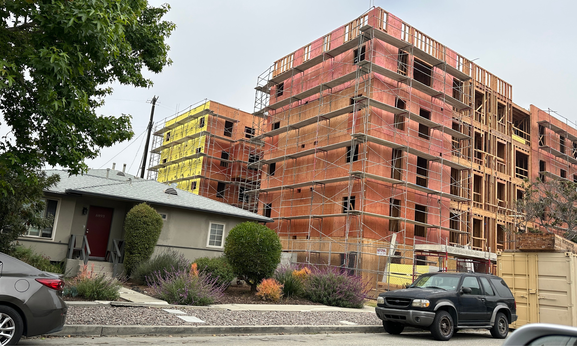
The New Industrial Map For Westchester Playa
The maps have not been easy to read, to say the least. Each has a legend. And then you have to refer to a separate document with “GPLU Designations” and yet another document called a “GPLU Correspondence Table.”
Sigh.
This is the new draft Industrial map for Westchester Playa:

At first blush, the density implications of the map appear minimal, but the full implications are hard to see in the format we’ve been provided.
Let’s start with the zoning strategy. I can’t even tell you what the strategy is. I thought the colors might match the strategy document but they don’t, so go figure. Why even put the pretty colors in the strategy document if they don’t match something?
So let’s turn to the Designations and the Correspondence Table for breadcrumbs.
From the Designations Key
Production
“Production areas preserve and sustain industrial activity while serving as a regional jobs base. The building form ranges from Very Low Rise to Low Rise. Site layout and development in these areas are flexible to accommodate goods movement, loading, and distribution needs. Uses include heavy industrial and evolving and innovative industries, such as light assembly and manufacturing, clean technology, incubators, and research and development facilities. Housing is generally not permitted in Production areas but limited residential uses may be allowed, for example, through adaptive reuse of existing buildings.” (my emphasis added)
Summary of my highlights above:
- Very low rise to low rise
- Mostly no housing units
- Adaptive reuse for housing units allowed
Markets
“Markets are bustling centers of commercial activity, each with its own mini-economy of specialized commercial uses, including wholesale. The building form generally ranges from Very Low Rise to Low Rise, and Mid Rise to Moderate Rise. Adaptive reuse and rehabilitation of structures and warehouses maintain the built environment and support sustainable development. Uses also include retail, limited housing, and goods movement activities. The residential density generally ranges from 1 unit per 1,500 square feet of lot area to 1 unit per 200 square feet of lot area; the residential density of Markets that are close to transportation hubs and/or Regional Centers may be limited by floor area.” (my emphasis added)
Summary of my highlights above:
- Commercial activity is the focus – retail, goods movement
- Very low rise to moderate rise
- Limited housing
- Assuming a 6000′ lot, density is 4 units to 30 units
Hybrid Industrial
“Hybrid Industrial areas preserve productive activity and prioritize employment uses, but may accommodate live/work uses or limited residential uses. The building form ranges from Very Low Rise to Mid Rise. Uses include light industrial, commercial, and office, with selective live/work uses. The residential density generally ranges from 1 unit per 1,500 square feet of lot area to 1 unit per 200 square feet of lot area; the residential density of Hybrid Industrial areas that are close to transportation hubs and/or Regional Centers may be limited by floor area.” (my emphasis added)
Summary of my highlights above:
- Employment uses is the priority
- Limited residential uses permitted
- Very low rise to mid rise
- Assuming a 6000′ lot, density is 4 units to 30 units
From The Correspondence Table
Production (WPDR 32-35):
- Proposed density base = n/a
- Height base is unlimited
- Proposed Floor Area Ratio = 1.5
- Proposed Floor Area Bonus = 3
Markets (WPDR 29-31):
- Proposed density base = 8
- Height base is unlimited
- Proposed Floor Area Ratio = 1.5
- Proposed Floor Area Bonus = 3
Hybrid Industrial (WPDR 27-28):
- Proposed density base = 4
- Height base is unlimited
- Proposed Floor Area Ratio = 3.5
- Proposed Floor Area Bonus = 5
Putting It All Together
WPDR 27 (Arizona Circle) is proposed as Hybrid Industrial. The building form is described as very low rise to mid rise but height is unlimited. I’m not sure where to go for definitions of building form. Tell me again why this is so hard? The residential density (to the extent allowed) generally ranges from 1 unit per 1,500 square feet of lot area to 1 unit per 200 square feet of lot area.
WPDR 28 (Aviation/Florence) likewise proposed as Hybrid Industrial. The building form is described as very low rise to mid rise but height is unlimited. The residential density (to the extent allowed) generally ranges from 1 unit per 1,500 square feet of lot area to 1 unit per 200 square feet of lot area.
WPDR 29 (South Osage, south of 83rd) is proposed as Markets. The building form is described as very low rise to moderate rise but height is unlimited. Assuming a 6000′ lot, density is 4 units to 30 units.
WPDR 30 (North of Arbor Vitae, east of Airport) is proposed as Markets. The building form is described as very low rise to moderate rise but height is unlimited. Assuming a 6000′ lot, density is 4 units to 30 units.
WPDR 31 (Arizona Circle) It is is proposed as Markets. The building form is described as very low rise to moderate rise but height is unlimited. Assuming a 6000′ lot, density is 4 units to 30 units.
WPDR 32 (South of Manchester. west of Aviation, north of Arbor Vitae, east of Airport, ) is proposed as Production. The building form is very low rise to low rise but height is unlimited. Housing through adaptive reuse only in this zone.
WPDR 33 (South of Arbor Vitae, west of Aviation, north of Century, east of Airport) is proposed as Production. The building form is very low rise to low rise but height is unlimited. Housing through adaptive reuse only in this zone.
WPDR 34 (South of Century, west of La Cienega, north of 104th-ish, east of Aviation) is proposed as Production. The building form is very low rise to low rise but height is unlimited. Housing through adaptive reuse only in this zone.
WPDR 35 (South of 111th , west of La Cienega, north of Imperial Hwy, east of Aviation) is proposed as Production. The building form is very low rise to low rise but height is unlimited. Housing through adaptive reuse only in this zone.
Conclusion
So it appears that the residential units to be derived from this map is minimal, but why wouldn’t we want more housing in these districts? The Production districts are for jobs. That’s a good thing, but why not add housing units within walking distance of these jobs?
I haven’t driven this map yet. It may be that housing won’t work for the Production districts. More on this later.
And oddly, why do we need two Markets districts in WPDR 29 and 30 if there is no residential planned in the area? Maybe this will make more sense in the omnibus map promised for September, but on this stand alone map, it makes no sense.
The latest update on the timing of our plan is that a combined map is due out before the end of the year, followed by community input, followed by the EIR process and final adoption of the plan in 2025. Pay attention to the EIR process timing, because whatever maps are on the table at the time are probably what we’re stuck with.
Tracy is active in a number of local community organizations including the Neighborhood Council PLUC, Neighborhood Council Ad Hoc CPU Committee, Kentwood Home Guardians and Emerson Ave Community Garden Club. The views expressed in this post are Tracy’s alone, and should not be construed in any way as an opinion of any other group. Are you planning a meeting with the planners? Have Tracy along to make sure you get the same information other community members get. Are you willing to host a group of your neighbors for a talk? Tracy would be happy to join you.
About Tracy Thrower Conyers  Tracy Thrower Conyers is a long-time resident of Westchester 90045. Tracy closely follows local politics, political players and social chatter relevant to Westchester. You’ll frequently find her at Neighborhood Council meetings, as well as on all the social platforms where 90045 peeps hang out. Tracy is a real estate broker and founding principal in Silicon Beach Properties. She is a recognized expert on Silicon Beach and its impact on residential and residential income real estate, and has been featured by respected media outlets including the LA Times, KPCC and KCET. Tracy is also a licensed attorney and accidental housing policy junkie.

One Reply to “”